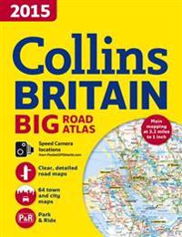
2015 Collins Big Road Atlas Britain (Häftad)
avCollins Maps, Collins Maps
ISBN: 9780007555079 - UTGIVEN: 2014-06The ultimate 3.2 miles to 1 inch scale large format paperback road atlas of Britain for 2015, featuring Collins' popular and well established road mapping, and designed for exceptional clarity and ease of use. The atlas also includes a wide range of urban area maps at even larger scale and 64 detail[...]
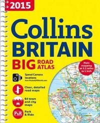
2015 Collins Big Road Atlas Britain (Spiral)
avCollins Maps, Collins Maps
ISBN: 9780007555086 - UTGIVEN: 2014-06The ultimate 3.2 miles to 1 inch scale large format spiral bound road atlas of Britain for 2015, featuring Collins' popular and well established road mapping, and designed for exceptional clarity and ease of use. The atlas also includes a wide range of urban area maps at even larger scale and 64 det[...]
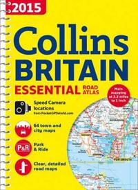
2015 Collins Essential Road Atlas Britain (Spiral)
avCollins Maps, Collins Maps
ISBN: 9780007555093 - UTGIVEN: 2014-06This A4 format road atlas with popular lie-flat spiral binding features clear, detailed road mapping, at a scale of 3.2 miles to 1 inch, with land height shown by attractive layer colouring. There are also a wide range of urban area approach maps at a larger scale as well as fully indexed street map[...]
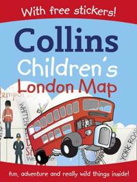
Collins Children's London Map (Karta, falsad.)
avCollins Maps
ISBN: 9780007237326 - UTGIVEN: 2010-05Simple illustrated map of Central London with stickers, featuring London's attractions and landmarks. Includes games and activities based on the mapped area.[...]
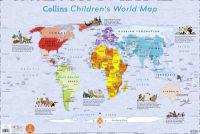
Collins Children's World Map (Okänt format)
avCollins Maps
ISBN: 9780007352739 - UTGIVEN: 2010-04Colourful Illustrated Map of the World

Collins Children's Picture Atlas (Inbunden)
avCollins Maps
ISBN: 9780007479443 - UTGIVEN: 2012-07-05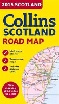
2015 Collins Map of Scotland (Karta, falsad.)
avCollins Maps
ISBN: 9780007544035 - UTGIVEN: 2014-06Full colour map of Scotland at 8.7 miles to 1 inch (1:550,000) with clear, detailed road network and administrative areas shown in colour. The map covers the whole of Scotland and part of Northern England conveniently on one side, and is ideal for reference or route planning. The map shows the road [...]
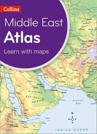
Collins Primary Geography Atlas for the Middle East (Häftad)
avCollins Maps
ISBN: 9780007563708 - UTGIVEN: 2014-05An ideal school atlas for young primary school geographers. Content is specifically designed for schools in Middle East countries. It enables students to learn about the world today by exploring clear and engaging maps, study satellite imagery, understand key facts and statistics, and learn how maps[...]
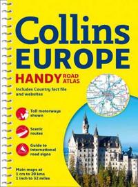
Collins Europe Handy Road Atlas (Pocket)
avCollins Maps (COR)
ISBN: 9780007581160 - UTGIVEN: 2014-10Scale: 1:2,000,000 Handy road atlas of Europe at A5 format with lie-flat spiral binding. Ideal format for both drivers and those travelling by public transport. Scenic routes are plotted on the maps. MAIN FEATURES Handy A5 format road atlas of Europe at 34 miles to 1inch. Euroroutes and motorways ar[...]
Collins France Big Road Atlas (Häftad)
avCollins Maps
ISBN: 9780007581191 - UTGIVEN: 2014-10Fully revised, large format A3 road atlas of France containing detailed road mapping, town plans and a comprehensive place name index. Scale 1:300,000 (1 cm to 3 km). MAIN FEATURES Clear, easy to follow road maps of France produced from the up-to-date digital database at a scale of 1:300 000 (1 cm t[...]
Collins Essential Road Atlas Europe (Spiral)
avCollins Maps
ISBN: 9780007581207 - UTGIVEN: 2014-10Up-to-date A4 spiral bound road atlas of Europe. Contains clear, detailed road mapping, perfect for touring the Mediterranean, Iberian peninsula, Scandinavia and many other European tourist destinations. Scale of main maps 1:1,000,000 (1 cm to 10 km / 1 inch to 16 miles). MAIN FEATURES Clear, easy t[...]
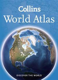
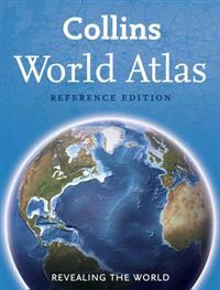
Collins World Atlas (Häftad)
avCollins Maps
ISBN: 9780008102043 - UTGIVEN: 2015-03Fully revised and updated reference atlas in the exciting Collins world atlas range. This atlas provides more mapping area than any other atlas at this price. Key statistics, facts and flags for ever country of the world are included in the introductory section giving the user quick access to essent[...]
Collins World Atlas (Inbunden)
avCollins Maps
ISBN: 9780008102074 - UTGIVEN: 2014-11A new, fully updated edition of this popular atlas in the stylish and authoritative Collins world atlas range. Designed in the distinctive Collins style, it is the ideal reference atlas for school, home and business use. This is a great value world atlas with more place names and mapping than any ot[...]
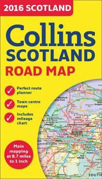
2016 Collins Map of Scotland (Karta, falsad.)
avCollins Maps
ISBN: 9780008102340 - UTGIVEN: 2015-06Full colour map of Scotland at 8.7 miles to 1 inch (1:550,000) with clear, detailed road network and administrative areas shown in colour. The map covers the whole of Scotland and part of Northern England conveniently on one side, and is ideal for reference or route planning. The map shows the road [...]
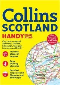
Collins Handy Road Atlas Scotland (Häftad)
avCollins Maps
ISBN: 9780008126322 - UTGIVEN: 2015-06This easy-to-use, handy A5 sized road atlas is your ideal companion for navigating around Scotland. It has extremely clear, route planning maps of Scotland, detailed city plans of the major cities and towns and fits neatly into your glovebox or briefcase or bag. MAIN FEATURES Clear, attractive route[...]
World Atlas (Häftad)
avCollins Maps
ISBN: 9780007419753 - UTGIVEN: 201102A new, fully updated edition of this best-selling budget atlas in the stylish and authoritative Collins world atlas range. Designed in the distinctive Collins style, this is the ideal atlas for school, home and business use. This new edition of the best-selling Collins World Atlas has been brought f[...]

London Big Ben Map (Övrigt)
avCollins Maps
ISBN: 9780007452439 - UTGIVEN: 2012-02-02This colourful fold out map of central London is ideal for visitors and tourists. Shopping areas, theatres, cinemas, hotels, places of tourist interest, bus routes and bike stations all shown. Central London mapped out in an exceptional detailed scale of 1:9,000 (7 inches to 1 mile).[...]
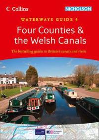
Four Counties & the Welsh Canals (Spiral)
avCollins Maps
ISBN: 9780007452590 - UTGIVEN: 2012-03Popular guide covering the canals and waterways in Wales and to the south of Liverpool. Colour Ordnance Survey(R) maps clearly show locks, towpaths and boating facilities. There are also comprehensive navigational notes as well as descriptions of the towns and villages, pubs and restaurants alongsid[...]
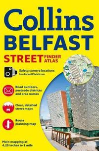
Belfast Streetfinder Colour Atlas (Häftad)
avCollins Maps
ISBN: 9780007493784 - UTGIVEN: 2014-04Discover Belfast with this handy, easy-to-use atlas in full colour, with clear street level mapping. An extensive area of Greater Belfast is covered, with clear, concise mapping at a scale of 4.25 inches to 1 mile, and a full index to street names. The area covered by the mapping extends from Ladybr[...]
World Atlas (Inbunden)
avCollins Maps
ISBN: 9780007500376 - UTGIVEN: 201211A new, fully updated edition of this popular atlas in the stylish and authoritative Collins world atlas range. Designed in the distinctive Collins style, it is the ideal reference atlas for school, home and business use. This is a great value world atlas with more place names and mapping than any ot[...]
-
Galaxy (Pocket)
avGreenwich Royal Observatory, Collins Maps
ISBN: 9780007501243 - UTGIVEN: 2013-06-20An accessible guide to the solar system and our night skies. Published in association with the Royal Observatory Greenwich.[...]

Hello Kitty World Atlas (Pocket)
avCollins Maps
ISBN: 9780007523610 - UTGIVEN: 2013-07-04Travel around the world with Hello Kitty and visit each of the seven continents. A fun activity book for 3-5 year olds, this exciting sticker book is full of awesome Hello Kitty characters.[...]
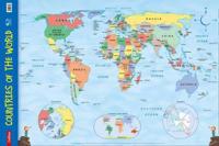
Countries of the World (Okänt format)
avCollins Maps
ISBN: 9780007536139 - UTGIVEN: 2014-02Every primary school needs this brightly coloured map of the world's countries. Uncluttered with unnecessary detail, this is a great visual aid for kids to learn geography and advance their understanding of the world. The map is clearly labelled with country names and oceans making it ideal for teac[...]
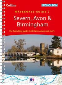
Severn, AvonBirmingham (Okänt format)
avCollins Maps
ISBN: 9780007538980 - UTGIVEN: 2014-03The number 1 choice for all users of the inland waterways. This established, popular and practical guide covers the canals and waterways around Birmingham and the River Severn.[...]
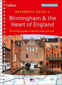
Birminghamthe Heart of England (Okänt format)
avCollins Maps
ISBN: 9780007538997 - UTGIVEN: 2014-03Popular guide covering the canals and waterways around Birmingham and central England. Colour Ordnance Survey(R) maps clearly show locks, towpaths and boating facilities. There are also comprehensive navigational notes as well as descriptions of the towns and villages, pubs and restaurants alongside[...]

